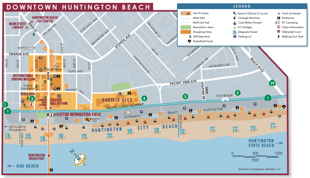
Downtown Huntington Beach Map
The city’s called Huntington Beach and nicknamed Surf City USA®, so if you’re looking for beaches in California, you’re in the right place. Head right from the Huntington Beach Pier to lie in the sun at Huntington City Beach, catch the waves at Huntington State Beach, enjoy the mild climate of Sunset Beach, and more. Take a look at our different beach maps to plan out your perfect beach day in Surf City.
Explore downtown Huntington Beach. In the heart of Huntington Beach, stroll on the iconic Pier, or choose from exciting dining and shopping options on Main Street, 5th & PCH, and Pacific City. Download map here.
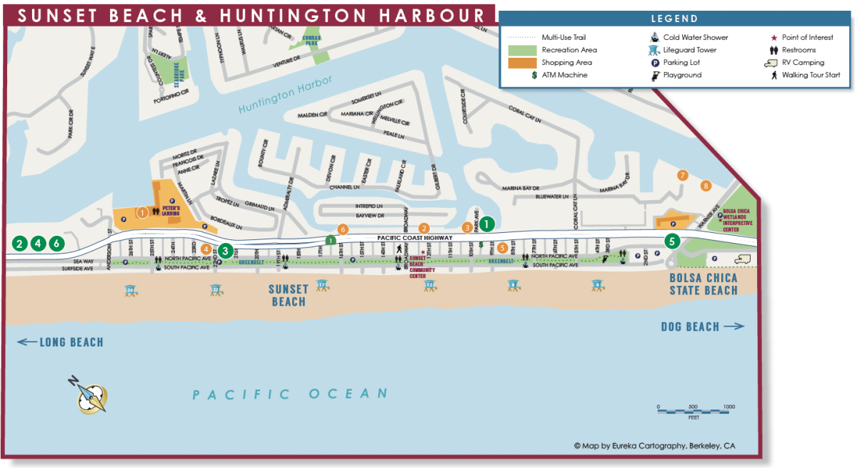
Sunset Beach/Huntington Harbour Map
Sunset Beach is a quaint beach town that welcomes visitors with its relaxed atmosphere, making it a perfect destination for a peaceful getaway or an adventurous vacation. Stretching just 1.5 miles from Anderson Street to Warner Avenue, it features one of the widest beaches in Southern California. Water sports enthusiasts can also embark on kayaking tours, cruise around on an electric Duffy boat, or take a romantic gondola ride through the nearby Huntington Harbour. Download map here.
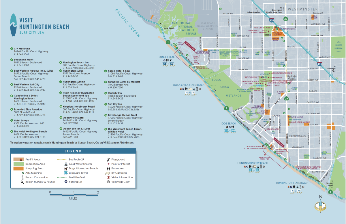
The City of Huntington Beach Map
The City of Huntington Beach Map includes all the neighborhoods of Surf City USA: Bella Terra, Sunset Beach, the Huntington Harbour, Bolsa Chica Ecological Reserve, Bolsa Chica Wetlands, downtown Huntington Beach, and Huntington Central Park. Download map here.
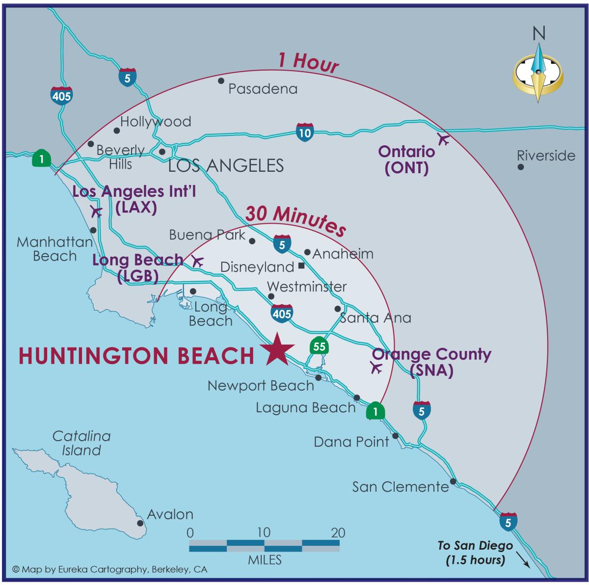
Huntington Beach Regional Map
Huntington Beach is located within driving distance of Southern California's iconic attractions and airports. Download the map here.
What county is Huntington Beach in?
Huntington Beach is located in Orange County, about 35 miles south of Los Angeles, making this seaside town known for its beaches, surf, and mild climate. It is the perfect spot to vacation for those looking for a central location to stay and play while exploring the coast and other nearby activities.
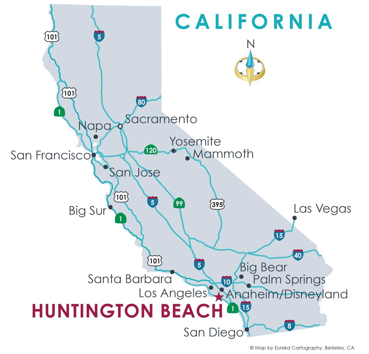
Huntington Beach State Map
If you’re asking “how far is Huntington Beach from LA?”, “what county is Huntington Beach in?”, or “how long would it take to road trip along the California coast?”, this map is for you. Located in the iconic Orange County on the West Coast, Huntington Beach is right on the edge of the Pacific Ocean. Find Surf City within California with our map of the state. Download the map here.